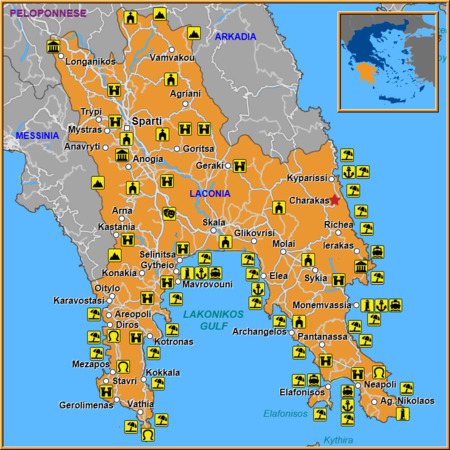
Charakas, perched on a gentle slope overlooking the Gulf of Messenia, is more than just a picturesque village—it's a gateway to some of Laconia’s most enchanting landscapes and cultural treasures. The newly released Charakas Map offers travelers an easy way to navigate this area, revealing trails, historic sites, and secret spots that often go unnoticed by mainstream guides.
We suggest for your stay:
Still Looking for the Perfect Stay?

Why the Charakas Map Matters
The map is designed with both casual hikers and seasoned explorers in mind. It highlights:
Scenic walking routes from the village center to nearby coves and panoramic viewpoints.
Cultural landmarks such as ancient churches, traditional taverns, and local craft workshops.
Practical information like parking spots, public transport links, and recommended times for sunrise or sunset visits.
By using this map, visitors can experience Laconia’s authentic charm without the hassle of getting lost in unfamiliar terrain.
Exploring Charakas Village Itself
At the heart of the village, a narrow cobblestone street leads to the Church of St. George, an 18th‑century structure that still hosts weekly services and offers stunning views of the surrounding hills. Nearby, the Old Town Hall—now a small museum—houses artifacts from the Venetian period, giving insight into the region’s layered history.
The local market, held every Saturday morning, is a sensory delight: fresh olives, honey, and handmade cheeses mingle with the scent of wild thyme growing on nearby cliffs. For those craving authentic Greek cuisine, Taverna Orestis serves traditional moussaka and grilled octopus straight from the sea.
Hidden Treasures Around Charakas
While Charakas is a destination in its own right, the surrounding villages are equally captivating. A short drive or hike will take you to:
Kyparissi, a small village known for its lush pine forests and tranquil springs.
Richea, where an ancient marble fountain still draws visitors during summer evenings.
Ierakas, famed for its traditional pottery workshops that have been passed down through generations.
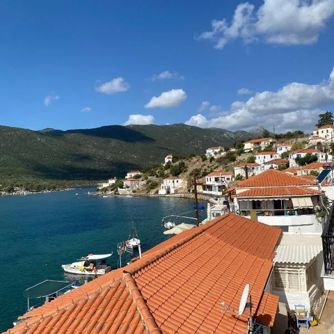
Sykia, offering breathtaking cliffside views of the Messenian coast.
Molai Town, a bustling market hub with vibrant street art and local crafts.
Glikovrisi Village, where the name itself means “the place of the silver stream,” a reference to its clear, mineral‑rich waters.
Poulithra, a seaside village perfect for sunset walks along the shoreline.
Each of these villages is mapped with precise coordinates and suggested itineraries, making it easy for travelers to plan day trips or multi‑day adventures.
Practical Tips for Travelers
Best Time to Visit – Late spring (May–June) and early autumn (September) offer mild weather and fewer crowds.
Getting Around – While local buses connect Charakas with nearby towns, renting a scooter provides flexibility for off‑beat routes.
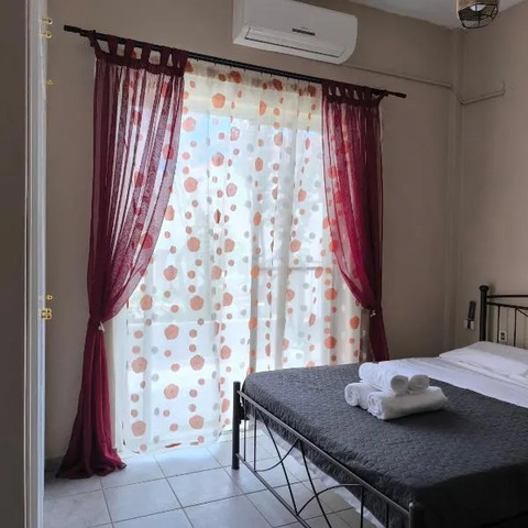
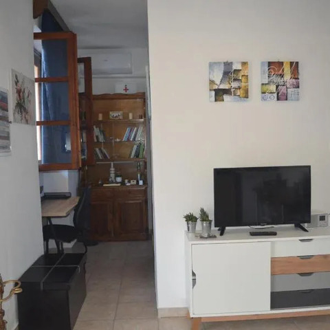
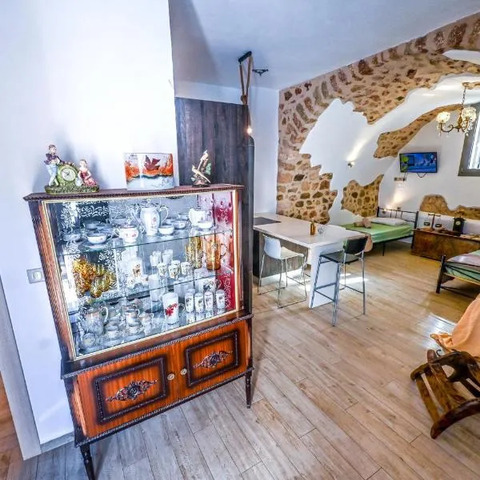
Accommodation – Guesthouses in Charakas offer traditional lodging with modern comforts; booking ahead during peak season is advised.
Safety – The map marks shaded rest areas and potable water points along popular trails.
Respect the Environment – Stick to marked paths, take your trash home, and observe local customs when visiting churches or private homes.
Embracing Laconia’s Timeless Landscapes
The Charakas Map does more than just point out destinations; it invites travelers to immerse themselves in Laconia’s timeless landscapes. From the rugged cliffs of Sykia to the serene springs of Kyparissi, each location offers a unique perspective on Greece’s natural beauty and cultural heritage.
Whether you’re seeking adventure, relaxation, or a deeper connection with Greek traditions, Charakas and its neighboring villages provide an unforgettable experience—guided by a map that celebrates both exploration and respect for the land.