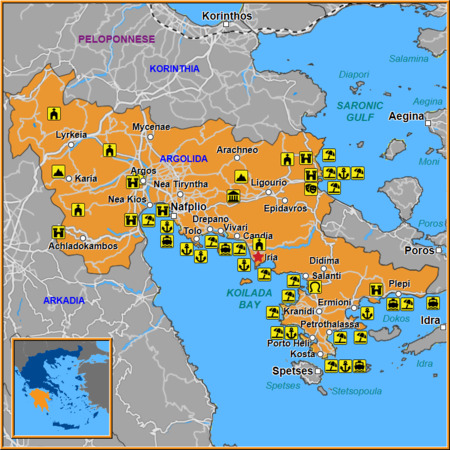
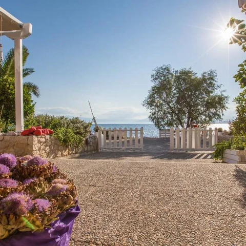
Iria, a charming village tucked in the heart of Argolida, offers more than just picturesque scenery. By following its detailed map, travelers can uncover layers of history and visit landmarks that tell the story of this ancient region.
We suggest for your stay:

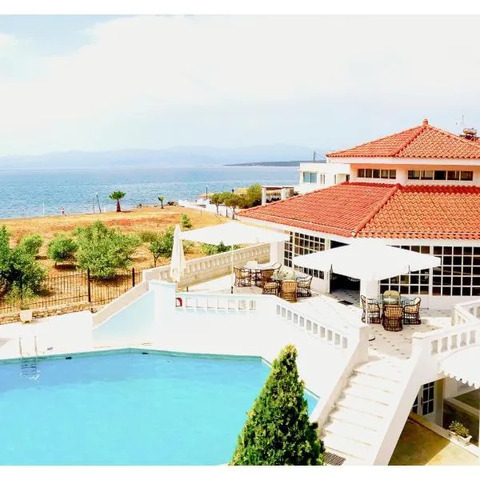

Still Looking for the Perfect Stay?

Key Landmarks in Iria
The Old Church of Saint George – A 15th‑century stone structure that still hosts evening liturgies.
Iria Castle Ruins – Overlooking the valley, these ruins hint at medieval fortifications that once protected local farmers.
Traditional Olive Groves – Spread across terraced hillsides, they provide insight into centuries of olive cultivation.
Historical Highlights
The map marks several sites that reveal Iria’s past:
Archaeological dig sites near the riverbank where pottery shards from the Mycenaean era were found.
A water mill dating back to the Ottoman period, still operational on weekends for locals.
The town square, a gathering place that has hosted festivals since the 1800s.

Nearby Villages Worth Visiting
Iria’s proximity to other historic settlements makes it an ideal hub for exploration. According to the map:
Candia Village – Known for its traditional stone houses and a small museum dedicated to local folklore.
Vivari Village – Offers panoramic views of the Argolidic plain and hosts an annual olive oil festival.
Salanti Small Village – A quiet spot where visitors can taste homemade feta cheese from family farms.
Drepano Village – Famous for its 18th‑century church and a network of ancient pathways.
Epidavros Small Village – Home to an old theater that still stages plays during the summer months.
Tolo Village – A coastal retreat with a sandy beach and fresh seafood taverns.
Ligourio Town – Boasts a historic market square and a 19th‑century clock tower.
Tips for Navigating the Map
Use a compass: While most landmarks are marked, some smaller paths may not appear on all editions.
Check the legend: Symbols for churches, ruins, and natural features help you identify points of interest quickly.
Plan your route: Start in Iria’s center, then branch out to nearby villages; this ensures you don’t miss any hidden gems.
Ask locals: Village elders often know stories behind each spot that the map alone can’t convey.
Cultural Experiences
Local cuisine: Sample bougatsa (sweet pastry) and koulouri (sesame bread) in Iria’s cafés.
Handicrafts: Visit artisans in Candia who weave traditional mats from local reeds.
Festivals: Time your visit to coincide with the Panigiri of Saint George, celebrated every July.
Conclusion
By following the map of Iria and its surrounding villages—Candia, Vivari, Salanti, Drepano, Epidavros, Tolo, and Ligourio—travelers can immerse themselves in a tapestry of history, culture, and natural beauty. Each landmark offers a unique window into Greece’s rich past, making this journey unforgettable.