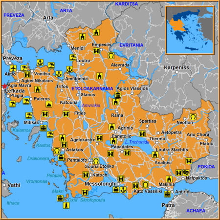
The Map of Agia Mavra is a treasure trove for history buffs and wanderers alike, offering a detailed view of one of Greece’s most iconic fortresses. Nestled on a rocky outcrop overlooking the Aegean Sea, Old Fortress Agia Mavra stands as a testament to centuries of maritime defense and architectural ingenuity.
We suggest for your stay:
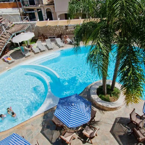


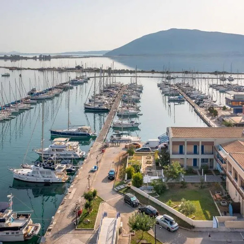
Still Looking for the Perfect Stay?

Why the Map Matters
Historical context: The map traces the fortress’s evolution from its 14th‑century origins through Venetian, Ottoman, and modern Greek periods.
Topographical detail: It highlights key elevations, watchtowers, and natural barriers that once protected the island.
Cultural insights: Nearby villages and landmarks are marked, showing how the fortress influenced local settlement patterns.
Key Features on the Map
Old Fortress Agia Mavra – The central point of interest, with its imposing walls, bastions, and a panoramic view of the sea.
Lefkada City – Located just a few kilometers to the east, this bustling urban center offers museums, cafes, and a vibrant harbor.
Agios Ioannis Village – A small coastal settlement known for its traditional architecture and serene beaches.
Plagia Village – Famous for its golden sands and crystal‑clear waters; the map shows its proximity to the fortress’s western approaches.
Tsoukalades Village – Nestled in a valley, this village is highlighted as a gateway for hikers exploring the island’s interior trails.
Ligia Village – A charming fishing hamlet whose harbor is marked on the map, illustrating its historical role in supplying the fortress.
Agios Nikolaos Village – Located near the northern perimeter of the map, this village offers a glimpse into rural life that supported the fortress’s garrison.

How to Use the Map for Your Trip
Plan your route: Start at Lefkada City and use the map’s scale to gauge distances between villages and the fortress. A 30‑minute drive will bring you to Agios Ioannis, where you can enjoy a seaside lunch before heading inland.
Explore hiking trails: The map marks several marked paths that lead from Tsoukalades through Ligia up to the fortress’s base. These routes provide both exercise and stunning vistas.
Discover hidden spots: Look for lesser‑known coves near Plagia; the map indicates a small inlet that is perfect for snorkeling away from crowds.
Tips for Visiting Old Fortress Agia Mavra
Best time to visit: Early morning or late afternoon offers softer lighting and fewer tourists.
Guided tours: Many local guides in Lefkada City can provide historical anecdotes about the fortress’s role during the Venetian era.
Accessibility: The fortress is partially accessible by foot; a well‑tuned pair of hiking boots will make the climb comfortable.

Cultural Connections
The map not only showcases physical landmarks but also illustrates how each nearby village contributed to the fortress’s history. For instance, Ligia’s fishing community supplied fresh fish for the garrison, while Tsoukalades’ agricultural produce ensured a steady food supply during sieges. These interdependencies are subtly highlighted through the map’s annotations.
Final Thoughts
Whether you’re a seasoned historian or an adventurous traveler, the Map of Agia Mavra in Etoloakarnania offers a comprehensive guide to uncovering Greece’s hidden treasures. By following its detailed routes and exploring the surrounding villages—Lefkada City, Agios Ioannis, Plagia, Tsoukalades, Ligia, and Agios Nikolaos—you’ll experience a rich tapestry of culture, history, and natural beauty that extends far beyond the fortress walls.

Ready to Explore?
Grab your copy of the map, pack your curiosity, and set out on an unforgettable journey through one of Greece’s most captivating regions.


