Keri is a hidden gem tucked into the southwestern coast of Zakynthos. With its rugged cliffs, crystal‑clear waters, and charming villages nearby, it offers an authentic Greek experience away from the usual tourist trail. This guide walks you through the best routes on the island’s map, highlighting must‑visit spots that are just a short drive or boat ride from Keri.
We suggest for your stay:


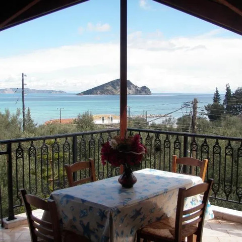

Still Looking for the Perfect Stay?

Why Use a Map?
Navigation: The winding roads of Zakynthos can be confusing; a detailed map helps avoid getting lost.
Planning: Pinpointing distances between villages and attractions lets you schedule day trips efficiently.
Safety: Knowing the exact location of emergency services, gas stations, and rest stops is essential for a smooth journey.
Key Locations Near Keri
Limni Keriou (Small Village) – A tranquil fishing hamlet located only 2 km north of Keri. The map shows its narrow lanes leading to the harbor where you can catch fresh seafood.
Marathonissi Islet – Just a short boat ride from Keri’s shore, this tiny islet offers secluded coves perfect for snorkeling and sunbathing.
Lithakia Village – Situated 5 km east of Keri, the map marks its traditional stone houses and the annual summer music festival.
Mouzaki Village – A 6‑minute drive south; the map highlights its olive groves and a small museum dedicated to local folklore.
Laganas Village – Known for nightlife, it lies about 12 km southeast. The map’s traffic layer shows peak times to avoid congestion.
Agrilia Small Village – A quiet spot 4 km west of Keri; the map points out its scenic hiking trails that loop back to the sea.

Suggested Itinerary Using the Map
Day 1: Local Exploration
Start in Keri, visit the lighthouse and enjoy a sunrise view over the Ionian Sea.
Use the map’s “walking routes” feature to stroll to Limni Keriou for lunch.
In the afternoon, take a short boat trip to Marathonissi Islet; the map shows docking points.
Day 2: Cultural Immersion
Drive east to Lithakia Village. The map’s “points of interest” will guide you to the historic church and local market.
Continue south to Mouzaki Village, stopping at the olive oil tasting shop highlighted on the map.
Day 3: Adventure & Relaxation
Head west toward Agrilia. The map’s topographic layer reveals a hidden trail that leads to an abandoned watchtower with panoramic views.
Finish the day in Laganas for dinner and, if you’re up for it, explore the nightlife; the map’s “nightlife” markers will help you find the best spots.
Tips for Using Your Map Effectively
Download Offline Maps: Zakynthos’ mobile coverage can be spotty. Save the area offline to avoid data charges and ensure you always have directions.
Mark Your Stops: Create custom pins for each village or attraction; this keeps your itinerary organized and easy to share with friends.
Check Weather Updates: The map often integrates live weather overlays, which is handy when planning beach days or hiking trips.

Final Thoughts
Keri’s charm lies in its understated beauty and the close-knit community that welcomes visitors. By leveraging a detailed map of Zakynthos, you can uncover hidden treasures like Limni Keriou, Marathonissi Islet, Lithakia, Mouzaki, Laganas, and Agrilia, turning your trip into an unforgettable journey through authentic Greek culture.
Ready to Explore?
Grab your phone or a printed copy of the map, pack light, and let the roads of Zakynthos guide you to adventures you’ll cherish forever.