Kefalonia, the largest of the Ionian Islands, offers a map that feels like a treasure chest full of secret coves, ancient villages, and breathtaking landscapes. While many travelers flock to its famous beaches, this guide will take you off‑the‑beaten path to uncover the island’s lesser‑known wonders.
We suggest for your stay:
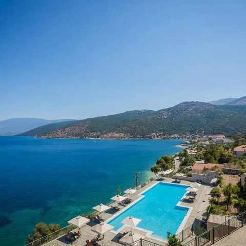
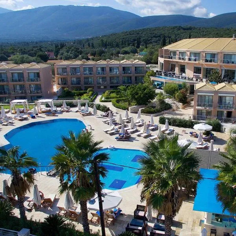
Still Looking for the Perfect Stay?

The Map as Your Compass
The official Kefalonia map highlights major roads, but the real magic lies in the smaller lanes that wind through olive groves and terraced vineyards. Use a paper copy or an offline app so you can explore without Wi‑Fi limits. Mark points of interest such as:
Lighthouse of Lixouri – a 19th‑century beacon overlooking the harbor.
The Blue Cave (Kefalonia) – accessible by boat from Agia Marina.
Mount Ainos National Park – home to endemic flora and the highest peak on the island.
Hidden Beaches Worth Visiting
Myrtos Beach – a secluded stretch of golden sand, perfect for sunrise photos.
Vlychada Bay – a dramatic cliffside cove with turquoise waters.
Lefkadia’s Secret Cove – only reachable by hiking 30 minutes from the village center.
Villages That Whisper History
Assos: A charming fishing hamlet where the sea meets stone architecture.
Argostoli (capital) offers bustling markets and a lively waterfront, yet its old quarter hides narrow alleys lined with traditional houses.
Lixouri: Known for its vibrant harbor and the historic Monastery of St. John.
Culinary Delights Beyond the Guidebooks
Kefalonia’s cuisine is as diverse as its terrain. Try these local specialties:
Pita – a sweet pastry filled with walnuts, honey, and cinnamon.
Local cheeses such as Myrtos and Feta from mountain farms.
Seafood platters featuring freshly caught octopus and grilled sardines.
Practical Tips for Navigating the Map
Public transport: Buses run between major towns but are infrequent in rural areas; renting a scooter can be liberating.
Seasonal considerations: Summer crowds peak in July–August, so early morning visits to popular sites save time and offer cooler temperatures.
Safety: Some trails near Mount Ainos require sturdy footwear; always check weather forecasts before heading out.

The Biggest Towns Worth a Stop
While Argostoli remains the island’s commercial hub, other towns add layers of culture:
Lixouri – Greece’s largest port on Kefalonia, bustling with shops and cafés.
Assos – small but packed with history, featuring a 15th‑century castle overlooking the sea.
Argostoli’s Old Town – where stone streets lead to hidden taverns serving homemade wine.
Final Thoughts
A map is more than a tool; it’s an invitation to explore Kefalonia beyond the postcard view. By following these lesser‑known routes, you’ll experience the island’s authentic charm and create memories that last a lifetime.